0 CORNET STETSON RD
Owner Information
GILPIN JULIANNE DONLEY TR &
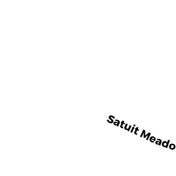
95 SATUIT MEADOW LN
NORWELL, MA 02061


Property Details
0 CORNET STETSON RD is classified as a Undevelopable Residential Land.
0 CORNET STETSON RD is valued at $86,500. The land is valued at $86,500 and the structures are valued at $0.
The most recent deed for 0 CORNET STETSON RD is recorded at the local registrar in Book 43168, Page 222. 0 CORNET STETSON RD was last sold on Thursday, June 6, 2013 for $10.
Assessment data from fiscal year 2022.
Flood Data
According to the FEMA National Flood Hazard Layer, this property does not appear to be in a flood zone. It may also be in an area not yet reviewed. Nonetheless, confirm this information prior to taking any action.
To view the flood hazards around this property, create a FEMA "Firmette" Map of the area around 0 CORNET STETSON RD.
Broadband Internet Providers
| Provider | Type | Bandwidth (mbps) | |
|---|---|---|---|
| Comcast | Cable | 1000 | 35 |
| T-Mobile | Fixed Wireless | 25 | 3 |
| GCI Communication Corp. | Satellite | 0 | 0 |
| Verizon New England Inc. | DSL | 5 | 0 |
| Viasat Inc | Satellite | 100 | 3 |
| VSAT Systems, LLC. | Satellite | 2 | 1 |
| HughesNet | Satellite | 25 | 3 |
Broadband service provider data from December 2020.
Adjacent Properties
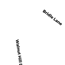
- 77 WALNUT HILL DR
Single Family Residential owned by FORSYTHE JOHN A & KATHLEEN H - 71 WALNUT HILL DR
Single Family Residential owned by LINK TERENCE E & LAUREL A - 0 OLD OAKEN BUCKET RD
Cranberry Bog (Ch. 61A, not classified as Open Space) owned by POPE'S POND CRANBERRY CO INC - 57 GARRISON DR
Single Family Residential owned by MODDER LAWRENCE & LAUREEN - 65 WALNUT HILL DR
Single Family Residential owned by WHITELOCK JEREMY & KATHERINE - 54 GARRISON DR
Single Family Residential owned by KERGER CHRISTOPHER & SAMANTHA - 43 GARRISON DR
Single Family Residential owned by MCKENNA JOHN F & TRACY L - 51 GARRISON DR
Single Family Residential owned by GUARD STEVEN M & KATHLEEN A - 0 BURNS LN
Developable Residential Land owned by GILPIN JULIANNE D - 0 BURNS LN
Single Family Residential owned by GILPIN JULIANNE DONLEY TR &